

Hydrological reports are essential tools in assessing whether a land parcel can adequately handle surface water, stormwater runoff, and seasonal flow patterns without causing flooding, erosion, or construction delays. These reports help confirm the drainage suitability of a site before development begins, and are often required by planning authorities for permitting.
Below are the key types of hydrological reports that confirm drainage readiness and suitability for industrial or commercial development:
1. Topographic Survey and Contour Mapping
- Maps the natural slope, elevation gradients, and depressions on the land.
- Identifies how water will naturally flow across the site.
- Helps in designing drainage channels, slope corrections, and site grading plans.
- Essential for evaluating the risk of water stagnation or the need for land filling.
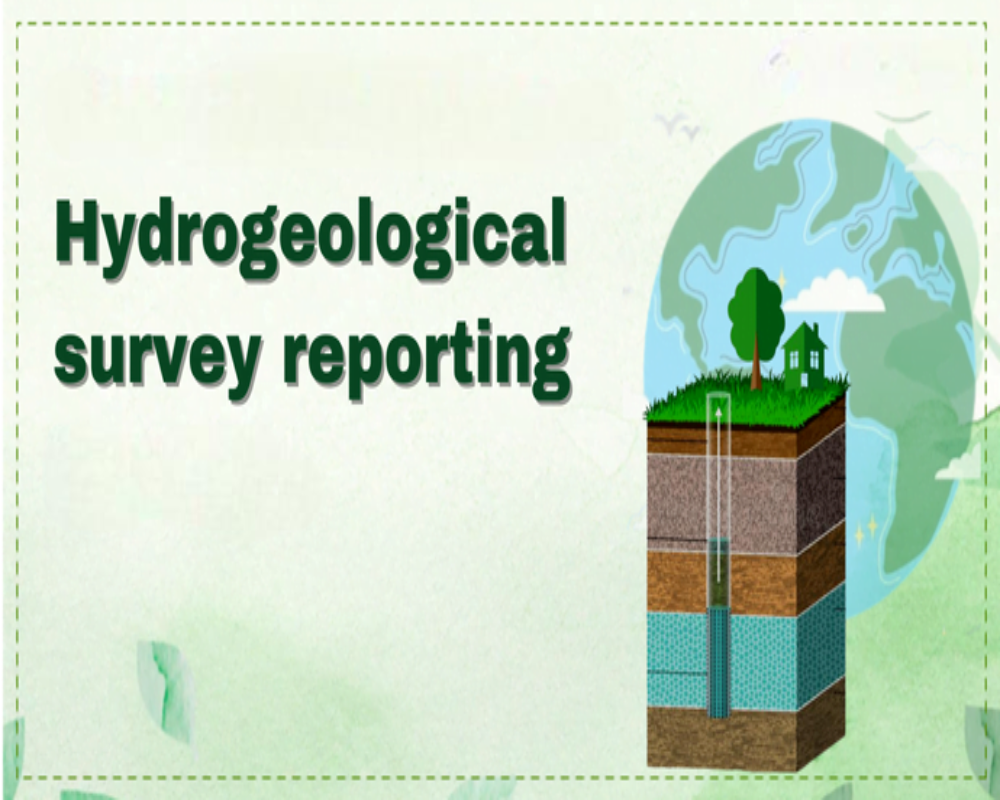
2. Hydrogeological Assessment
- Evaluates the groundwater table level, recharge patterns, and seasonal variation.
- Assesses the permeability of the subsurface and its ability to absorb surface runoff.
- Useful in determining the feasibility of soak pits, infiltration trenches, or sub-surface drainage systems.
3. Stormwater Runoff Analysis
- Uses rainfall intensity, catchment area, and soil data to estimate peak runoff volume.
- Identifies whether on-site drainage systems can manage heavy rains without flooding.
- Helps design retention basins, detention ponds, culverts, or surface drains.
- Often performed using models like SWMM (Storm Water Management Model).
4. Flood Risk Assessment
- Determines the site’s proximity to floodplains, rivers, lakes, or seasonal streams.
- Uses historical flood data and satellite imagery to estimate the likelihood of submersion.
- Required in flood-prone zones or near major water bodies to plan for:
- Elevated plinth levels
- Embankments or flood walls
- Emergency drainage channels
- Elevated plinth levels
5. Drainage Impact Assessment Report (DIAR)
- Required by municipal or industrial planning authorities for large developments.
- Assess how the proposed construction will impact existing drainage networks.
- Includes recommendations for:
- Drainage alignment within the site
- Connection points to public drains.
- Prevention of backflow or overflow during peak rainfall
- Drainage alignment within the site