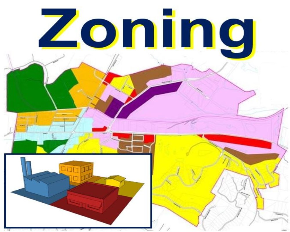
Land use overlays are regulatory layers applied in addition to base zoning. They impose extra requirements or restrictions that can influence whether a zoning change is viable or likely to be approved.
1. Environmental Protection Overlays
- Identify areas requiring conservation of natural resources.
- Enforce limits on development intensity and permissible land use.
- May involve compliance with ecological assessments and buffer zones
2. Floodplain or Watershed Overlays
- Apply to areas susceptible to flooding or within a watershed boundary.y
- Impose development limitations for safety and hydrological management.
- Often require drainage plans and elevation studies before approval
3. Historic Preservation Overlays
- Apply to zones designated for cultural or architectural significance.e
- Restrict building alterations, demolitions, or land use changes.s
- Require clearance from the heritage or planning committee.
4. Airport or Transport Corridor Overlays
- Govern land near airports, highways, or railway alignments.
- Impose height restrictions, noise regulations, or special use conditions.
- Require alignment with aviation or transport authority plans
5. Coastal Regulation or Green Belt Overlays
- Designate coastal zones or protected green belt areas.s
- Impose strict rules on development types and densities.
- Require clearances under the regional coastal zone management plan.s


